The land covers about 30% of the Earth’s surface, and the features that we find on land are called landforms. These may be mountains, plains, plateaus, or similar things. But how are these landforms classified? This is done based on the position and the land formation itself.

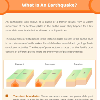
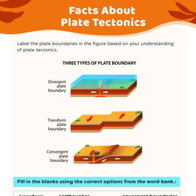
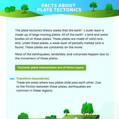
For example: When the tectonic plates shift, sloping features may give rise to hills and valleys. Near water bodies like seas, we see some typical coastal landforms like peninsulas and deltas. Marshes, islands, and swamps may be found around rivers. At higher elevations, we find glaciers and fjords apart from mountain ranges. Where there are volcanoes, we come across unique landforms, such as geysers.
This printable worksheet introduces the child to landforms of various kinds and gives them a brief description of what they are. There are examples and pictures of the landforms from across the world. There is a word search at the end of the worksheet where the child has to find the newly learned terms. The activity reinforces the learning and helps them cement the spellings in their mind. Plus, it also helps them practice observation and pattern matching.
Community Experiences
Join the conversation and become a part of our nurturing community! Share your stories, experiences, and insights to connect with fellow parents.
Read full bio of Praggya Joshi


